Granby to Ft. Collins, CO, USA
September, 2024
3 days / 160 miles
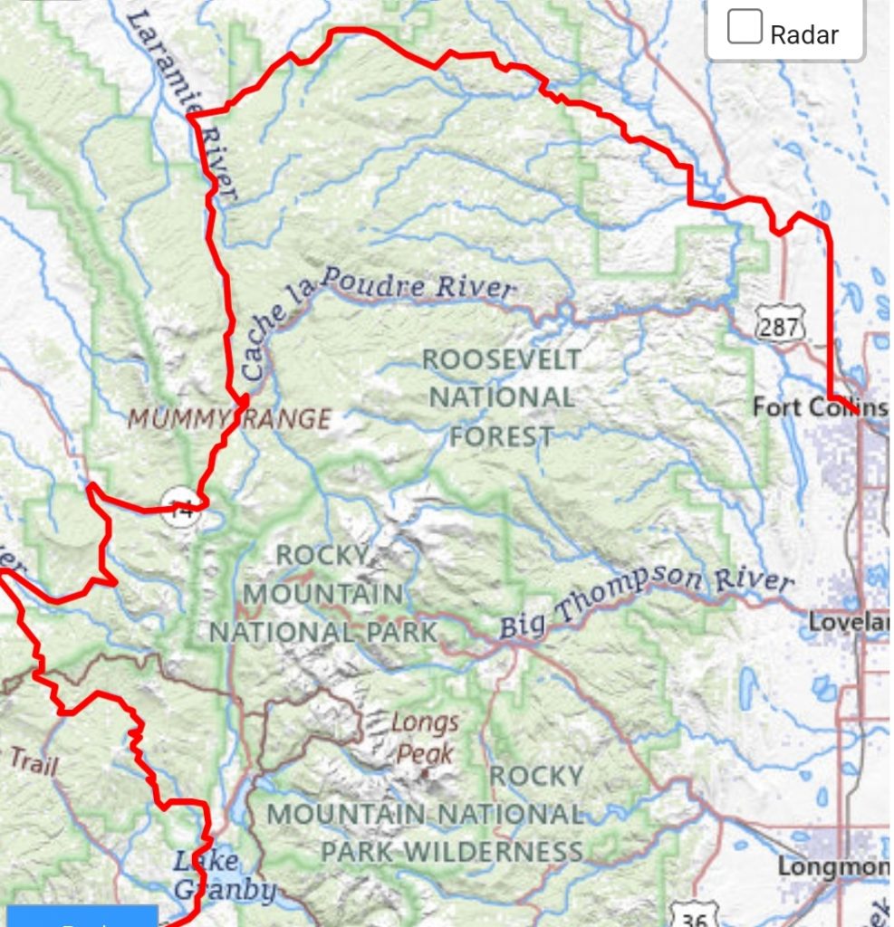
Going on a family car-camping trip to Lake Granby with friends was a great springboard for a bikepacking trip through a part of Colorado I hadn’t yet seen. The folks at northsouthcolorado.com have developed a route that starts in Fort Collins and heads west up County Rd. 80C before turning south and running all the way to Trinidad. I decided to bike part of the route backwards, starting at Lake Granby.
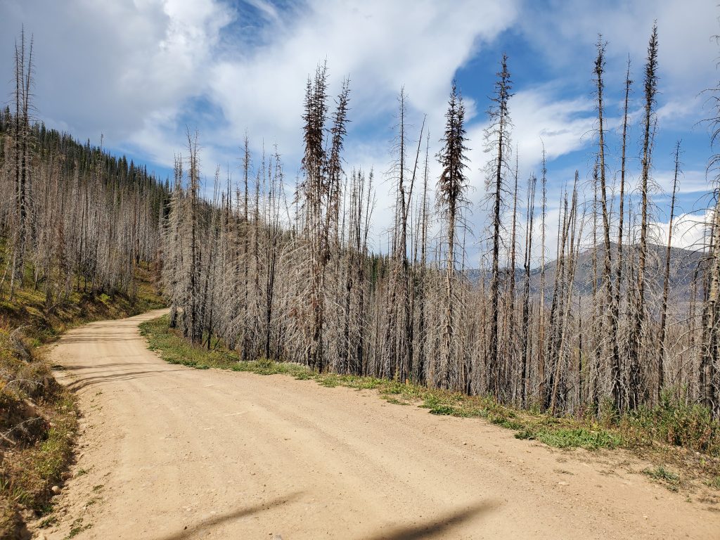
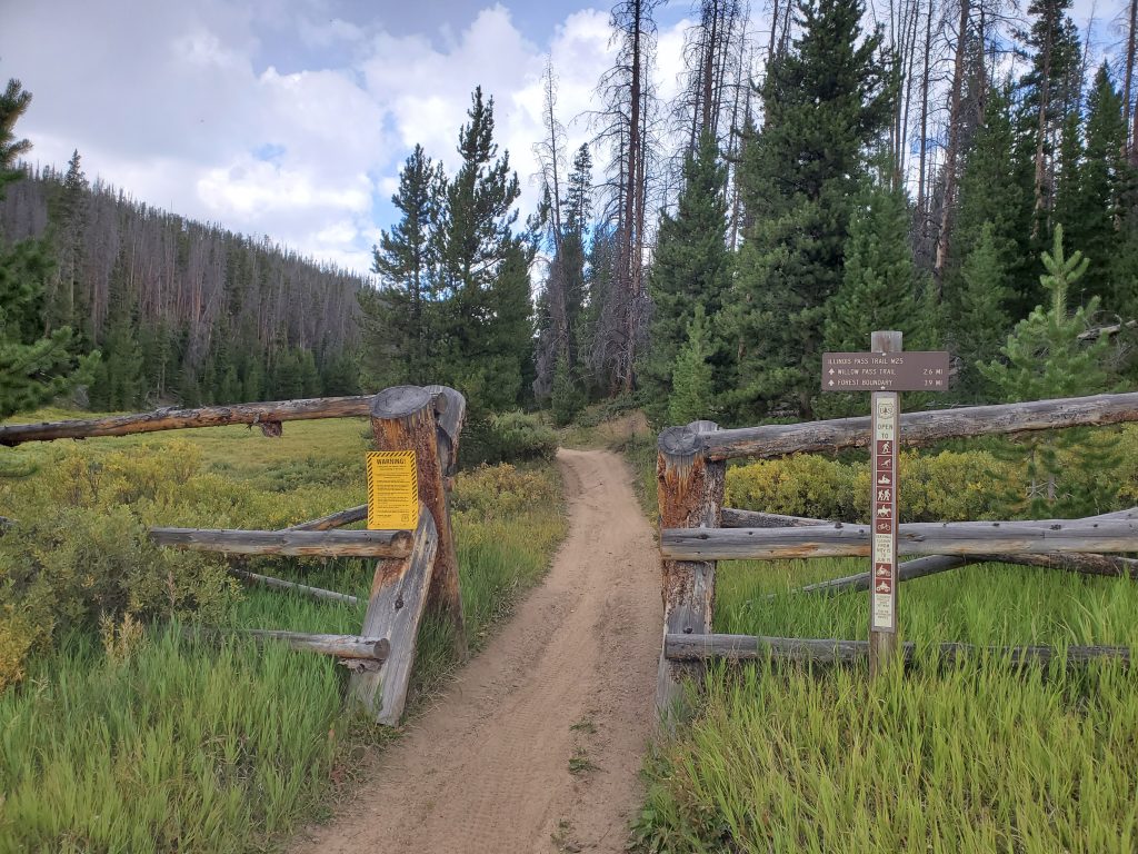
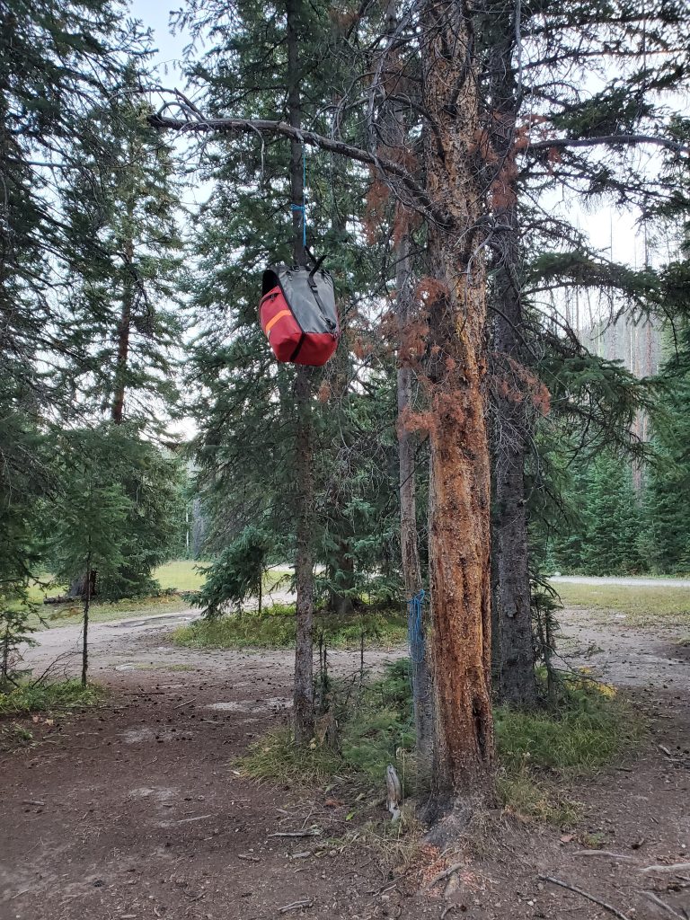
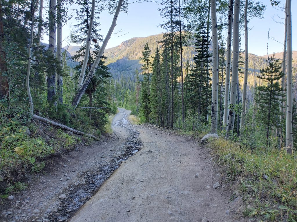
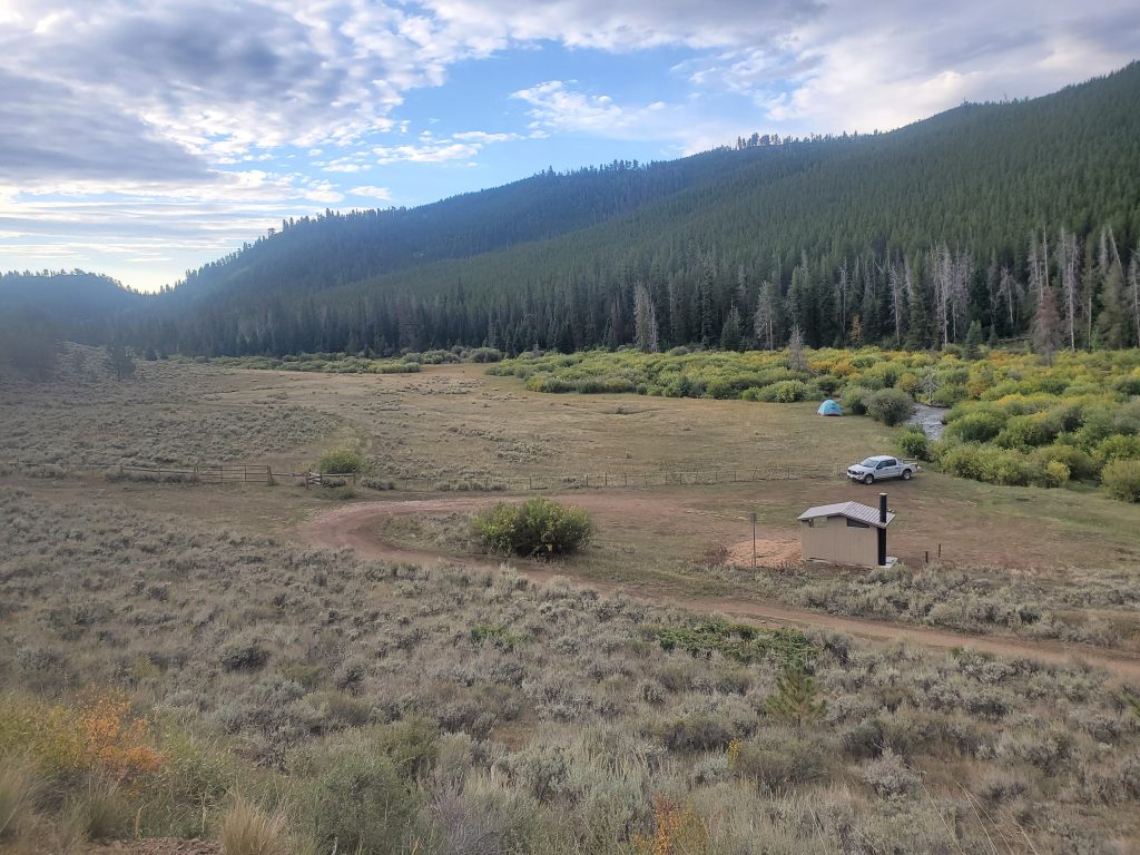
Turning off the highway near the north end of the lake, you climb over Stillwater Pass and then down towards Highway 125. Before getting to the pavement, I decided to be adventurous and turned north on the Illinois Pass trail. The first half mile was great cycling, but then things turned steep and ridiculous. Being open to motos and ATVs, parts of the 2-track go straight up the gradients instead of doing switchback. This has led to a lot of trail damage, and makes large sections of the trail difficult to walk up, let alone bike. Part of me wants to blame this on the motos, but some better trail design and stewardship could really improve things here. Anyways, it was fun to be cycling (err, hike-a-biking) on a short section of the Continental Divide Trail and see this remote part of the mountains. The ride down Illinois Creek on FR 750.1 and then up to Teller City was great! There’s no camping allowed in the immediate area of the historic site, but if you keep going about half a mile, there are some camp spots right along the creek. It was the week of Labor Day, so I had to share the area with other folks. But it was really nice to end the day sitting by the creek with a warmish beer I somehow found in my pannier.
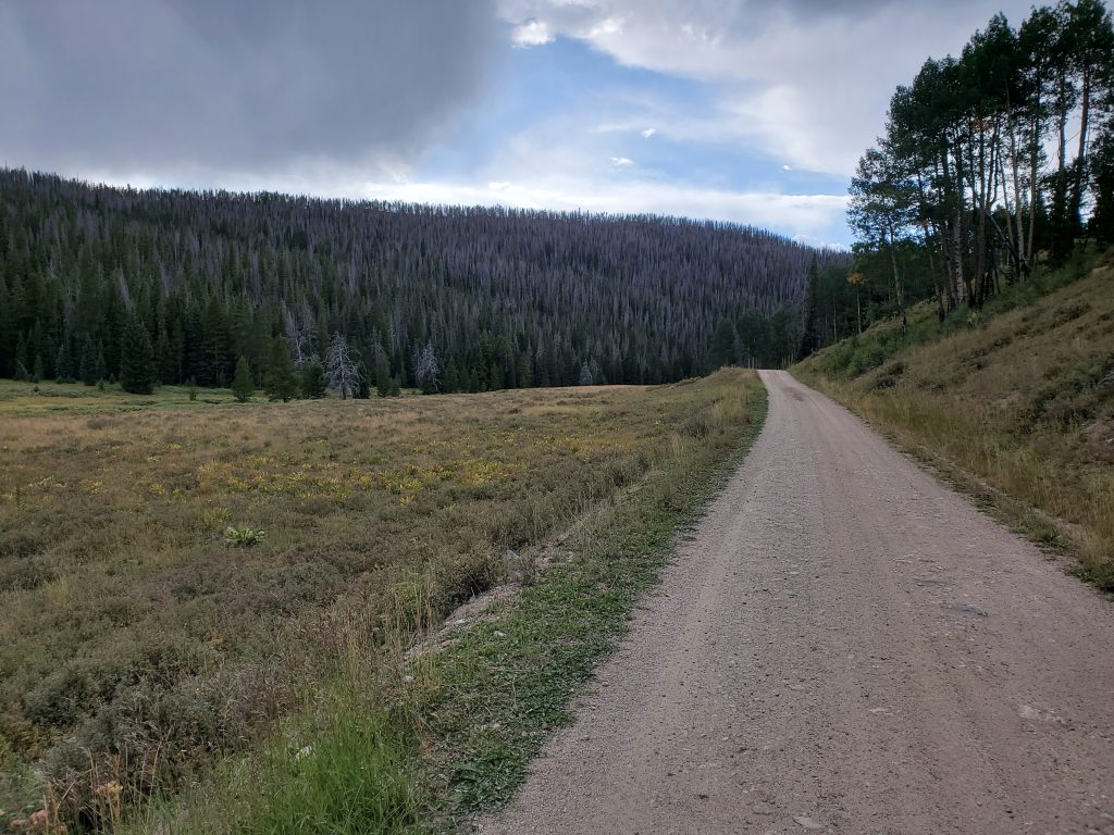
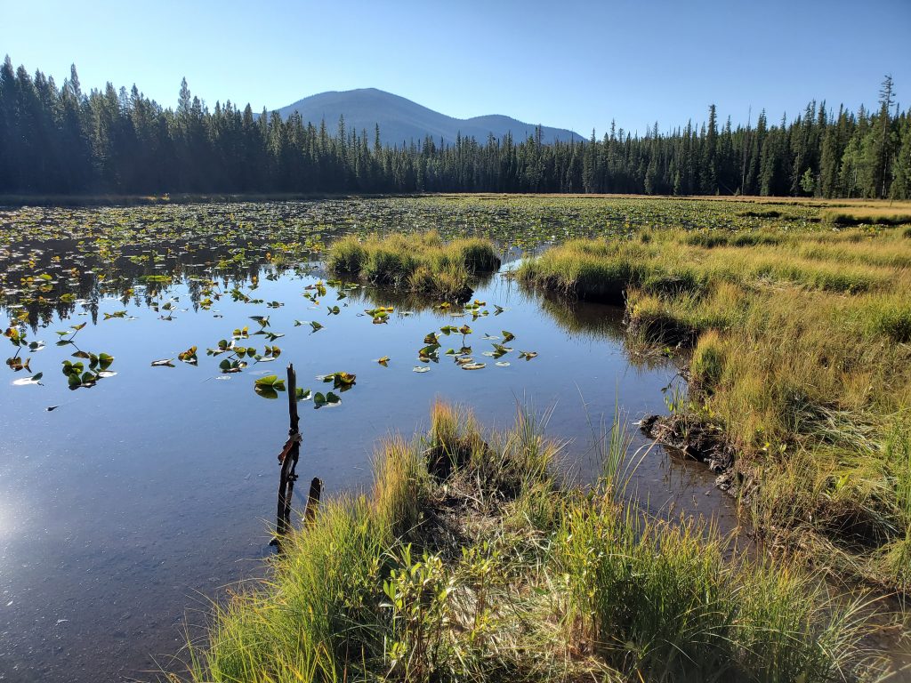
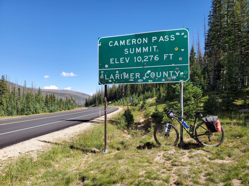
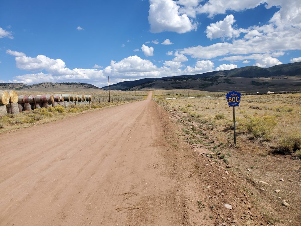
My long-ish second day of about 68 miles led me over Calamity Pass to Gould, then up and over Cameron Pass before turning north to cycle down the long Laramie River Valley. I had been curious about this road for a long time and I’m glad I finally had the opportunity to bike it. There isn’t anything too spectacular about the scenery (some of it is burned), but being able to bike on nice gravel, mostly downhill, for 20 miles straight is definitely a nice experience! The late afternoon got kinda hot… just in time for me to start climbing on Road 80C. There ended up being more climbing than I expected, or maybe I was getting tired, so I was happy to take a camp spot next to another family at the Upper Cherokee Wildlife area, rather than try to find my own spot (there aren’t that many to be had).
I got up and out early on Day 3. The topography on the eastern half of Road 80C crazy. Heading east, it’s mostly a descent, but these sometimes steep downhills are followed by a few steep uphills and lot of twists and turns through rocky outcrops and gullies. It was a lot of work, but I made good progress. I was almost out of food by the time I reached Livermore, so the breakfast sandwich at the general store there really hit the spot. After Livermore, you have to ride on Hwy 285 for a short bit… that wasn’t fun. But, the rest of the ride down Owl Canyon Rd. and Taft Hill Rd. was nice and easy. I actually achieved my coveted goal of “50 before noon”, ending the trip with a ride along the Poudre River bike path to find my favorite burrito place, Illegal Pete’s. My original plan was to ride all the way back to Boulder via Masonville, but the weather wasn’t looking good and I didn’t have it in me. Fortunately, the FLEX bus is bike-friendly (and free!), and I hopped on for a ride back to Boulder.